
Thank you for supporting this site ❤️
Make a donation
Make a donation
Garford topographic map
Click on the map to display elevation.
Thank you for supporting this site ❤️
Make a donation
Make a donation
About this map
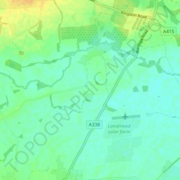
Name: Garford topographic map, elevation, terrain.
Average elevation: 61 m
Minimum elevation: 53 m
Maximum elevation: 77 m
Thank you for supporting this site ❤️
Make a donation
Make a donation
Other topographic maps
Click on a map to view its topography, its elevation and its terrain.
Kingston Bagpuize
United Kingdom > England > Oxfordshire > Vale of White Horse
Average elevation: 76 m