
Thank you for supporting this site ❤️
Make a donation
Make a donation
Tokopah Falls topographic map
Click on the map to display elevation.
Thank you for supporting this site ❤️
Make a donation
Make a donation
About this map
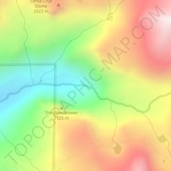
Name: Tokopah Falls topographic map, elevation, terrain.
Location: Tokopah Falls, Tulare County, California, United States (36.61104 -118.69410 36.61114 -118.69400)
Average elevation: 2,655 m
Minimum elevation: 2,147 m
Maximum elevation: 3,187 m
Thank you for supporting this site ❤️
Make a donation
Make a donation
Other topographic maps
Click on a map to view its topography, its elevation and its terrain.