
Thank you for supporting this site ❤️
Make a donation
Make a donation
Guto topographic map
Click on the map to display elevation.
Thank you for supporting this site ❤️
Make a donation
Make a donation
About this map
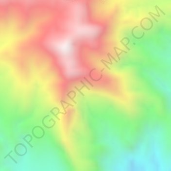
Name: Guto topographic map, elevation, terrain.
Location: Guto, South West Shewa, Oromia Region, Ethiopia (8.70667 37.74000 8.72667 37.76000)
Average elevation: 2,867 m
Minimum elevation: 2,453 m
Maximum elevation: 3,254 m
Thank you for supporting this site ❤️
Make a donation
Make a donation
Other topographic maps
Click on a map to view its topography, its elevation and its terrain.