
Earth topographic map
Click on the map to display elevation.
About this map
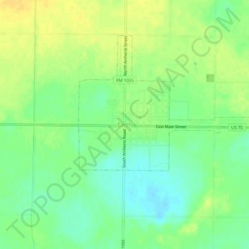
Name: Earth topographic map, elevation, terrain.
Location: Earth, Lamb County, Texas, 79301, United States (34.21314 -102.43075 34.25314 -102.39075)
Average elevation: 1,129 m
Minimum elevation: 1,116 m
Maximum elevation: 1,142 m