
Kalamina Gorge topographic map
Interactive map
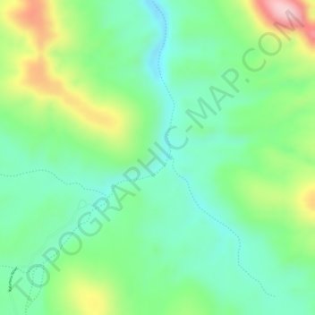
Click on the map to display elevation.
About this map
Name: Kalamina Gorge topographic map, elevation, terrain.
Average elevation: 696 m
Minimum elevation: 616 m
Maximum elevation: 840 m
Other topographic maps
Click on a map to view its topography, its elevation and its terrain.
Mount Barker
The peak of Mount Barker lies 3.5 kilometres (2.2 mi) southwest of the town centre, and reaches an elevation of 404 metres (1,325 ft) above sea level. A sealed road leads to the base of a radio and television tower on the summit of the hill. The tower was constructed to a height of 168 metres (551 ft) in 1966,…
Average elevation: 211 m
Kalbarri
Kalbarri is a coastal town in the Mid West region located 592 km (368 mi) north of Perth, Western Australia. The town is located at the mouth of the Murchison River, which has an elevation of 6 metres (20 ft). It is connected by public transport to Perth via Transwa coach services N1 and N2.
Average elevation: 57 m