
Al-Dawayah District topographic map
Interactive map
Click on the map to display elevation.
About this map
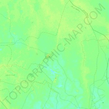
Name: Al-Dawayah District topographic map, elevation, terrain.
Location: Al-Dawayah District, Dhi Qar Governorate, Iraq (31.31659 46.21528 31.68106 46.57822)
Average elevation: 8 m
Minimum elevation: 3 m
Maximum elevation: 13 m
Other topographic maps
Click on a map to view its topography, its elevation and its terrain.
Nasiriyah
Iraq > Dhi Qar Governorate > Nasiriyah
Nasiriyah, Dhi Qar Governorate, 176219, Iraq
Average elevation: 5 m
Ur
Iraq > Dhi Qar Governorate > Nasiriyah
Ur, Nasiriyah, Dhi Qar Governorate, Iraq
Average elevation: 6 m
Al-Shatrah Central Subdistrict
Al-Shatrah Central Subdistrict, Al-Shatrah District, Dhi Qar Governorate, 64007, Iraq
Average elevation: 8 m