
College of St Hild and St Bede topographic map
Interactive map
Click on the map to display elevation.
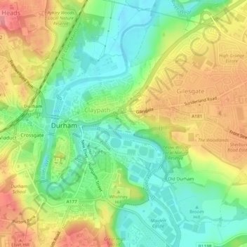
College of St Hild and St Bede topographic map, elevation, terrain
About this map
Name: College of St Hild and St Bede topographic map, elevation, terrain.
Average elevation: 64 m
Minimum elevation: 25 m
Maximum elevation: 111 m