
Thank you for supporting this site ❤️
Make a donation
Make a donation
Mercury Island topographic map
Click on the map to display elevation.
Thank you for supporting this site ❤️
Make a donation
Make a donation
About this map
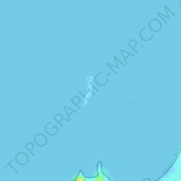
Name: Mercury Island topographic map, elevation, terrain.
Location: Mercury Island, Namibia (-25.72184 14.83190 -25.71732 14.83348)
Average elevation: 0 m
Minimum elevation: -4 m
Maximum elevation: 27 m
Thank you for supporting this site ❤️
Make a donation
Make a donation
Other topographic maps
Click on a map to view its topography, its elevation and its terrain.