
Mai Gudo topographic map
Interactive map
Click on the map to display elevation.
About this map
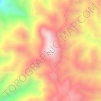
Name: Mai Gudo topographic map, elevation, terrain.
Location: Mai Gudo, Jimma, Oromia Region, Ethiopia (7.49119 37.20602 7.49129 37.20612)
Average elevation: 3,119 m
Minimum elevation: 2,679 m
Maximum elevation: 3,344 m
Other topographic maps
Click on a map to view its topography, its elevation and its terrain.