
Thank you for supporting this site ❤️
Make a donation
Make a donation
Ankoli topographic map
Click on the map to display elevation.
Thank you for supporting this site ❤️
Make a donation
Make a donation
About this map
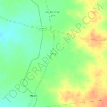
Name: Ankoli topographic map, elevation, terrain.
Location: Ankoli, Mohol, Solapur, Maharashtra, 413245, India (17.65138 75.58898 17.69138 75.62898)
Average elevation: 479 m
Minimum elevation: 458 m
Maximum elevation: 504 m
Thank you for supporting this site ❤️
Make a donation
Make a donation