
Thank you for supporting this site ❤️
Make a donation
Make a donation
Thame topographic map
Click on the map to display elevation.
Thank you for supporting this site ❤️
Make a donation
Make a donation
About this map
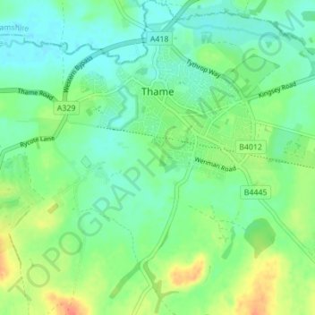
Name: Thame topographic map, elevation, terrain.
Location: Thame, South Oxfordshire, Oxfordshire, England, United Kingdom (51.71792 -1.00432 51.76071 -0.94439)
Average elevation: 74 m
Minimum elevation: 59 m
Maximum elevation: 102 m
Thank you for supporting this site ❤️
Make a donation
Make a donation