
West Nalaut Island topographic map
Interactive map
Click on the map to display elevation.
About this map
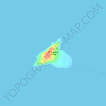
Name: West Nalaut Island topographic map, elevation, terrain.
Location: West Nalaut Island, Busuanga, Palawan, Mimaropa, Philippines (12.05104 119.78468 12.05897 119.79529)
Average elevation: 1 m
Minimum elevation: 0 m
Maximum elevation: 52 m
Other topographic maps
Click on a map to view its topography, its elevation and its terrain.