
Maglalambay topographic map
Interactive map
Click on the map to display elevation.
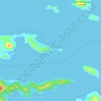
Maglalambay topographic map, elevation, terrain
About this map
Name: Maglalambay topographic map, elevation, terrain.
Location: Maglalambay, Busuanga, Palawan, Mimaropa, Philippines (11.97319 119.84831 12.01319 119.88831)
Average elevation: 4 m
Minimum elevation: 0 m
Maximum elevation: 88 m
Other topographic maps
Click on a map to view its topography, its elevation and its terrain.