
Emmanuel topographic map
Click on the map to display elevation.
About this map
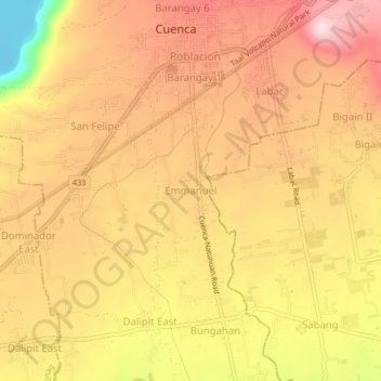
Name: Emmanuel topographic map, elevation, terrain.
Location: Emmanuel, Cuenca, Batangas, Calabarzon, 4222, Philippines (13.86453 121.03087 13.90453 121.07087)
Average elevation: 245 m
Minimum elevation: -3 m
Maximum elevation: 388 m