
Thank you for supporting this site ❤️
Make a donation
Make a donation
Elizabethtown topographic map
Click on the map to display elevation.
Thank you for supporting this site ❤️
Make a donation
Make a donation
About this map
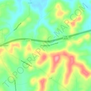
Name: Elizabethtown topographic map, elevation, terrain.
Location: Elizabethtown, Guernsey County, Ohio, 43755, United States (40.01590 -81.42651 40.05590 -81.38651)
Average elevation: 290 m
Minimum elevation: 242 m
Maximum elevation: 361 m
Thank you for supporting this site ❤️
Make a donation
Make a donation
Other topographic maps
Click on a map to view its topography, its elevation and its terrain.