
Mohadi topographic map
Interactive map
Click on the map to display elevation.
About this map
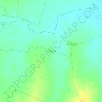
Name: Mohadi topographic map, elevation, terrain.
Location: Mohadi, Kuhi Taluka, Nagpur, Maharashtra, India (21.03933 79.19982 21.07933 79.23982)
Average elevation: 275 m
Minimum elevation: 267 m
Maximum elevation: 290 m
Other topographic maps
Click on a map to view its topography, its elevation and its terrain.
Kuchadi
India > Maharashtra > Kuhi Taluka
Kuchadi, Kuhi Taluka, Nagpur, Maharashtra, India
Average elevation: 274 m
Satara
India > Maharashtra > Kuhi Taluka
Satara, Kuhi Taluka, Nagpur, Maharashtra, India
Average elevation: 273 m
Kuhi
India > Maharashtra > Kuhi Taluka
Kuhi, Kuhi Taluka, Nagpur, Maharashtra, India
Average elevation: 272 m