
Thank you for supporting this site ❤️
Make a donation
Make a donation
Dhurwa Dam topographic map
Click on the map to display elevation.
Thank you for supporting this site ❤️
Make a donation
Make a donation
About this map
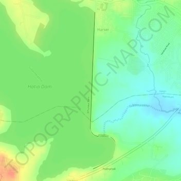
Name: Dhurwa Dam topographic map, elevation, terrain.
Location: Dhurwa Dam, Ranchi, Jharkhand, 834003, India (23.27578 85.25836 23.29912 85.26248)
Average elevation: 663 m
Minimum elevation: 642 m
Maximum elevation: 689 m
Thank you for supporting this site ❤️
Make a donation
Make a donation