
Thank you for supporting this site ❤️
Make a donation
Make a donation
Fox Lake topographic map
Click on the map to display elevation.
Thank you for supporting this site ❤️
Make a donation
Make a donation
About this map
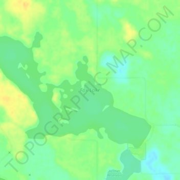
Name: Fox Lake topographic map, elevation, terrain.
Location: Fox Lake, Special Area No. 2, Alberta, Canada (51.65272 -112.01466 51.67018 -111.97619)
Average elevation: 816 m
Minimum elevation: 804 m
Maximum elevation: 830 m
Thank you for supporting this site ❤️
Make a donation
Make a donation
Other topographic maps
Click on a map to view its topography, its elevation and its terrain.