
Thank you for supporting this site ❤️
Make a donation
Make a donation
Steveville topographic map
Click on the map to display elevation.
Thank you for supporting this site ❤️
Make a donation
Make a donation
About this map
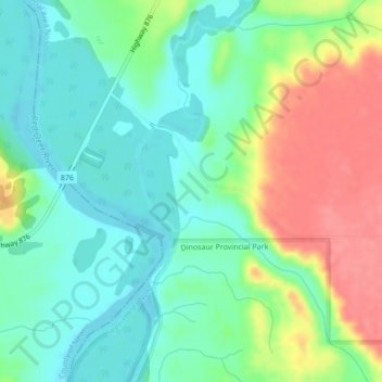
Name: Steveville topographic map, elevation, terrain.
Location: Steveville, Special Area No. 2, Alberta, Canada (50.82741 -111.61125 50.84741 -111.59125)
Average elevation: 659 m
Minimum elevation: 632 m
Maximum elevation: 707 m
Thank you for supporting this site ❤️
Make a donation
Make a donation
Other topographic maps
Click on a map to view its topography, its elevation and its terrain.