
Île Wrangel topographic map
Interactive map
Click on the map to display elevation.
About this map
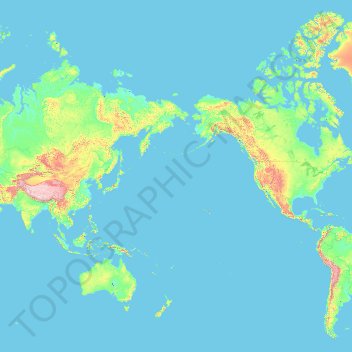
Name: Île Wrangel topographic map, elevation, terrain.
Average elevation: 168 m
Minimum elevation: -2 m
Maximum elevation: 6,643 m
Other topographic maps
Click on a map to view its topography, its elevation and its terrain.
Tchoukotka
Tchoukotka, District fédéral extrême-oriental, Russie
Average elevation: 435 m