
Brentwood topographic map
Interactive map
Click on the map to display elevation.
About this map
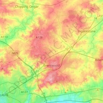
Name: Brentwood topographic map, elevation, terrain.
Location: Brentwood, Essex, East of England, England, United Kingdom (51.56430 0.17568 51.71701 0.41253)
Average elevation: 64 m
Minimum elevation: 5 m
Maximum elevation: 124 m