
Okuku Hill topographic map
Interactive map
Click on the map to display elevation.
About this map
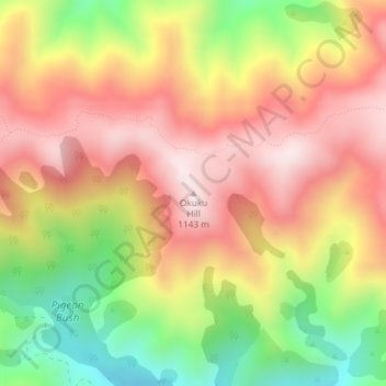
Name: Okuku Hill topographic map, elevation, terrain.
Location: Okuku Hill, Waimakariri District, Canterbury, New Zealand (-43.08319 172.32026 -43.08309 172.32036)
Average elevation: 872 m
Minimum elevation: 544 m
Maximum elevation: 1,133 m
Waimakariri District trails, hiking, mountain biking, running and outdoor activities
Other topographic maps
Click on a map to view its topography, its elevation and its terrain.