
Taruva topographic map
Interactive map
Click on the map to display elevation.
About this map
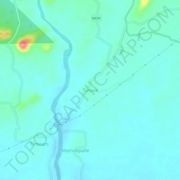
Name: Taruva topographic map, elevation, terrain.
Location: Taruva, Devarapalle, Anakapalli, Andhra Pradesh, India (17.91674 82.95502 17.95674 82.99502)
Average elevation: 77 m
Minimum elevation: 63 m
Maximum elevation: 165 m
Other topographic maps
Click on a map to view its topography, its elevation and its terrain.
bandapuram
India > Andhra Pradesh > Devarapalle
bandapuram, Devarapalle, East Godavari, Andhra Pradesh, 534313, India
Average elevation: 47 m