
Thank you for supporting this site ❤️
Make a donation
Make a donation
Rajgir Forests topographic map
Click on the map to display elevation.
Thank you for supporting this site ❤️
Make a donation
Make a donation
About this map
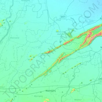
Name: Rajgir Forests topographic map, elevation, terrain.
Location: Rajgir Forests, Muhra, Gaya, Bihar, 805112, India (24.81989 85.16328 25.03144 85.52010)
Average elevation: 95 m
Minimum elevation: 60 m
Maximum elevation: 445 m
Thank you for supporting this site ❤️
Make a donation
Make a donation