
Kearney County topographic map
Interactive map
Click on the map to display elevation.
About this map
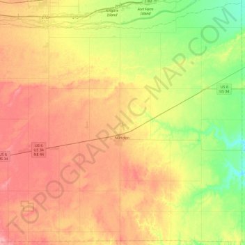
Name: Kearney County topographic map, elevation, terrain.
Location: Kearney County, Nebraska, United States of America (40.35030 -99.18056 40.68944 -98.72443)
Average elevation: 653 m
Minimum elevation: 609 m
Maximum elevation: 695 m
Other topographic maps
Click on a map to view its topography, its elevation and its terrain.
Hamilton County
United States of America > Nebraska
Hamilton County, Nebraska, United States of America
Average elevation: 544 m
Colfax County
United States of America > Nebraska
Colfax County, Nebraska, United States of America
Average elevation: 452 m