
Thank you for supporting this site ❤️
Make a donation
Make a donation
Rayat topographic map
Click on the map to display elevation.
Thank you for supporting this site ❤️
Make a donation
Make a donation
About this map
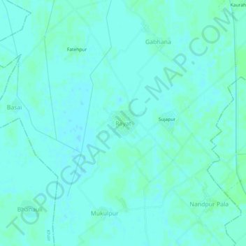
Name: Rayat topographic map, elevation, terrain.
Location: Rayat, Gabhana, Aligarh, Uttar Pradesh, 202140, India (27.94374 77.93388 27.98374 77.97388)
Average elevation: 189 m
Minimum elevation: 186 m
Maximum elevation: 191 m
Thank you for supporting this site ❤️
Make a donation
Make a donation
Other topographic maps
Click on a map to view its topography, its elevation and its terrain.