
Warthi topographic map
Interactive map
Click on the map to display elevation.
About this map
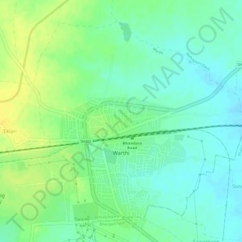
Name: Warthi topographic map, elevation, terrain.
Location: Warthi, Mohadi Taluka, Bhandara District, Maharashtra, India (21.22902 79.63435 21.25148 79.65992)
Average elevation: 263 m
Minimum elevation: 252 m
Maximum elevation: 276 m