
Matakohe topographic map
Click on the map to display elevation.
About this map
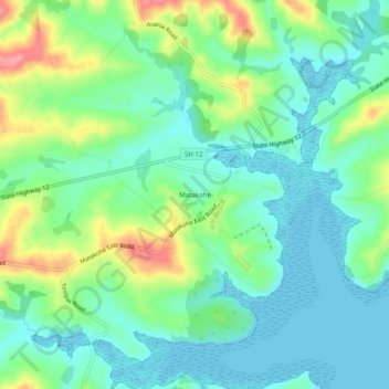
Name: Matakohe topographic map, elevation, terrain.
Location: Matakohe, Kaipara District, Northland, 0593, New Zealand (-36.14719 174.16309 -36.10719 174.20309)
Average elevation: 29 m
Minimum elevation: 0 m
Maximum elevation: 98 m
Kaipara District trails, hiking, mountain biking, running and outdoor activities
Other topographic maps
Click on a map to view its topography, its elevation and its terrain.