
Roborough topographic map
Click on the map to display elevation.
About this map
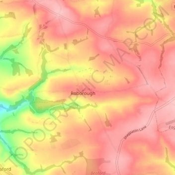
Name: Roborough topographic map, elevation, terrain.
Location: Roborough, Torridge District, Devon, England, United Kingdom (50.91795 -4.06361 50.95582 -3.99320)
Average elevation: 159 m
Minimum elevation: 70 m
Maximum elevation: 199 m