
Thank you for supporting this site ❤️
Make a donation
Make a donation
Gunung Inas topographic map
Click on the map to display elevation.
Thank you for supporting this site ❤️
Make a donation
Make a donation
About this map
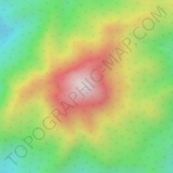
Name: Gunung Inas topographic map, elevation, terrain.
Location: Gunung Inas, Baling, Kedah, Malaysia (5.49899 100.83511 5.49909 100.83521)
Average elevation: 1,086 m
Minimum elevation: 766 m
Maximum elevation: 1,423 m
Thank you for supporting this site ❤️
Make a donation
Make a donation
Other topographic maps
Click on a map to view its topography, its elevation and its terrain.