
Thank you for supporting this site ❤️
Make a donation
Make a donation
Hullbridge topographic map
Click on the map to display elevation.
Thank you for supporting this site ❤️
Make a donation
Make a donation
About this map
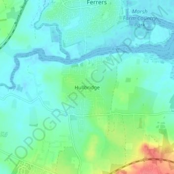
Name: Hullbridge topographic map, elevation, terrain.
Location: Hullbridge, Rochford, Essex, England, SS5 6EU, United Kingdom (51.60349 0.59409 51.64349 0.63409)
Average elevation: 14 m
Minimum elevation: -5 m
Maximum elevation: 62 m
Thank you for supporting this site ❤️
Make a donation
Make a donation