
Kaingaroa Forest topographic map
Interactive map
Click on the map to display elevation.
About this map
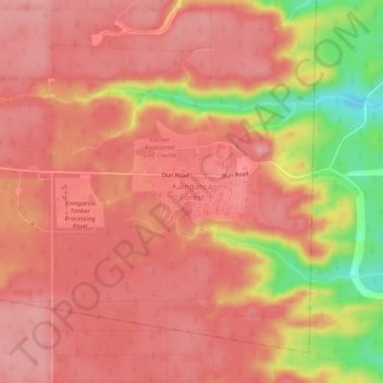
Name: Kaingaroa Forest topographic map, elevation, terrain.
Average elevation: 521 m
Minimum elevation: 428 m
Maximum elevation: 555 m
Rotorua Lakes District trails, hiking, mountain biking, running and outdoor activities
Other topographic maps
Click on a map to view its topography, its elevation and its terrain.
Lake Rotoiti / Te Roto kite ā Ihenga i ariki ai Kahu
New Zealand > Bay of Plenty > Rotorua Lakes District > Okere Falls
Average elevation: 375 m
Lake Tarawera
New Zealand > Bay of Plenty > Rotorua Lakes District > Lake Tarawera
Average elevation: 394 m