
Thank you for supporting this site ❤️
Make a donation
Make a donation
Pharka topographic map
Click on the map to display elevation.
Thank you for supporting this site ❤️
Make a donation
Make a donation
About this map
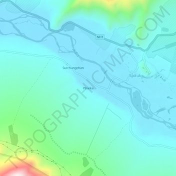
Name: Pharka topographic map, elevation, terrain.
Location: Pharka, Spituk, Leh Tehsil, Leh district, Ladakh, India (34.10226 77.48970 34.14226 77.52970)
Average elevation: 3,269 m
Minimum elevation: 3,176 m
Maximum elevation: 3,783 m
Thank you for supporting this site ❤️
Make a donation
Make a donation