
Claver topographic map
Click on the map to display elevation.
About this map
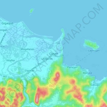
Name: Claver topographic map, elevation, terrain.
Location: Claver, Surigao del Norte, Caraga, Philippines (9.53303 125.69268 9.61303 125.77268)
Average elevation: 28 m
Minimum elevation: 0 m
Maximum elevation: 215 m
Other topographic maps
Click on a map to view its topography, its elevation and its terrain.