
Greenlane topographic map
Interactive map
Click on the map to display elevation.
About this map
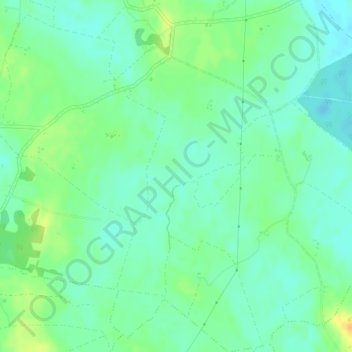
Name: Greenlane topographic map, elevation, terrain.
Average elevation: 60 m
Minimum elevation: 49 m
Maximum elevation: 80 m
Other topographic maps
Click on a map to view its topography, its elevation and its terrain.
The Borough District of Clonmel
The Borough District of Clonmel, County Tipperary, Munster, Ireland
Average elevation: 118 m
Rapla
Rapla, Nenagh Rural, The Municipal District of Nenagh, County Tipperary, Munster, Ireland
Average elevation: 78 m