
Konan topographic map
Interactive map
Click on the map to display elevation.
About this map
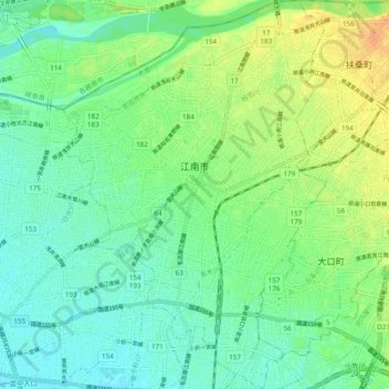
Name: Konan topographic map, elevation, terrain.
Location: Konan, Aichi Prefecture, Japan (35.29908 136.83232 35.37809 136.89971)
Average elevation: 22 m
Minimum elevation: 10 m
Maximum elevation: 40 m
Other topographic maps
Click on a map to view its topography, its elevation and its terrain.