
Ålesund topographic map
Interactive map
Click on the map to display elevation.
About this map
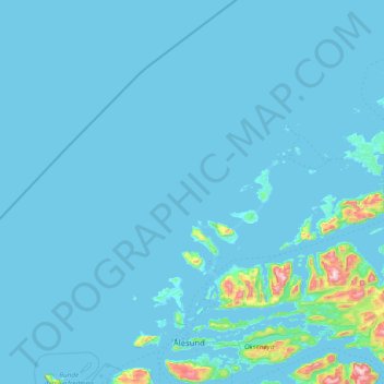
Name: Ålesund topographic map, elevation, terrain.
Location: Ålesund, Møre og Romsdal, Noruega (62.39436 5.64124 63.09133 7.12046)
Average elevation: 35 m
Minimum elevation: -3 m
Maximum elevation: 982 m
Other topographic maps
Click on a map to view its topography, its elevation and its terrain.