
People's Park in the Sky topographic map
Interactive map
Click on the map to display elevation.
About this map
Name: People's Park in the Sky topographic map, elevation, terrain.
Average elevation: 503 m
Minimum elevation: 270 m
Maximum elevation: 728 m
Other topographic maps
Click on a map to view its topography, its elevation and its terrain.
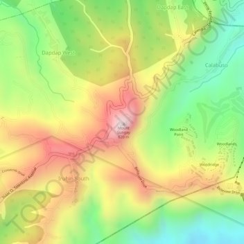
Mount Sungay
Philippines > Cavite > Tagaytay > Iruhin South
Mount Sungay, Iruhin South, Tagaytay, Cavite, Calabarzon, 4120, Philippines
Average elevation: 501 m
Tagaytay Highlands
Philippines > Cavite > Tagaytay > Iruhin South
Tagaytay Highlands, Woodridge, Iruhin South, Tagaytay, Cavite, Calabarzon, 4120, Philippines
Average elevation: 428 m