
Ikamatua topographic map
Interactive map
Click on the map to display elevation.
About this map
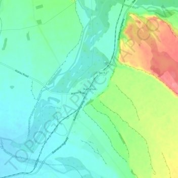
Name: Ikamatua topographic map, elevation, terrain.
Location: Ikamatua, Buller District, West Coast, New Zealand (-42.29095 171.66462 -42.25095 171.70462)
Average elevation: 122 m
Minimum elevation: 95 m
Maximum elevation: 182 m
Buller District trails, hiking, mountain biking, running and outdoor activities
Other topographic maps
Click on a map to view its topography, its elevation and its terrain.