
Rock Island County topographic map
Interactive map
Click on the map to display elevation.
About this map
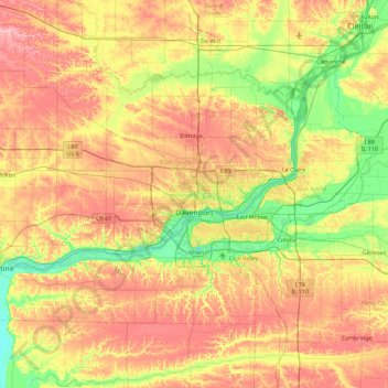
Name: Rock Island County topographic map, elevation, terrain.
Location: Rock Island County, Illinois, United States (41.32699 -91.07190 41.78296 -90.16165)
Average elevation: 213 m
Minimum elevation: 160 m
Maximum elevation: 274 m
Other topographic maps
Click on a map to view its topography, its elevation and its terrain.
Sturbridge Village
United States > Illinois > Winnebago County > Sturbridge Village
Average elevation: 230 m