
Thank you for supporting this site ❤️
Make a donation
Make a donation
Koeki topographic map
Click on the map to display elevation.
Thank you for supporting this site ❤️
Make a donation
Make a donation
About this map
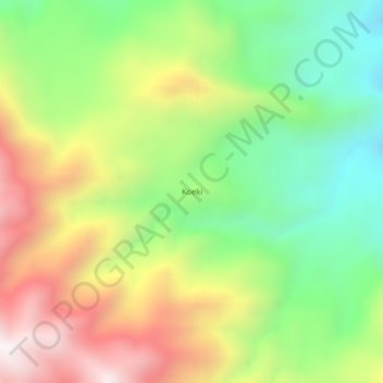
Name: Koeki topographic map, elevation, terrain.
Location: Koeki, Morobe, Momase Region, Papua New Guinea (-6.98554 146.07487 -6.94554 146.11487)
Average elevation: 1,477 m
Minimum elevation: 1,004 m
Maximum elevation: 2,089 m
Thank you for supporting this site ❤️
Make a donation
Make a donation