
Thank you for supporting this site ❤️
Make a donation
Make a donation
Mamatung topographic map
Click on the map to display elevation.
Thank you for supporting this site ❤️
Make a donation
Make a donation
About this map
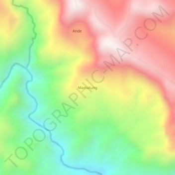
Name: Mamatung topographic map, elevation, terrain.
Location: Mamatung, Morobe, Momase Region, Papua New Guinea (-6.53703 147.41766 -6.49703 147.45766)
Average elevation: 918 m
Minimum elevation: 368 m
Maximum elevation: 1,493 m
Thank you for supporting this site ❤️
Make a donation
Make a donation