Geolocate

Menfis y su necrópolis – Zonas de las pirámides desde Guizeh hasta Dahshur topographic map

Interactive map

Click on the map to display elevation.

About this map

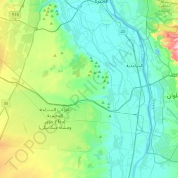
Name: Menfis y su necrópolis – Zonas de las pirámides desde Guizeh hasta Dahshur topographic map, elevation, terrain.

Location: Menfis y su necrópolis – Zonas de las pirámides desde Guizeh hasta Dahshur, Guiza, Egipto (29.72900 31.08354 29.98726 31.26425)

Average elevation: 69 m

Minimum elevation: 11 m

Maximum elevation: 285 m

Other topographic maps

Click on a map to view its topography, its elevation and its terrain.

سقارة

Egipto > Guiza

سقارة, Guiza, 12919, Egipto

Average elevation: 31 m

ميدان الرماية

Egipto > Guiza

ميدان الرماية, Guiza, 12556, Egipto

Average elevation: 37 m

Guiza

Egipto > Guiza

Guiza, 12524, Egipto

Average elevation: 72 m

البدرشين

Egipto > Guiza > البدرشين

البدرشين, Guiza, Egipto

Average elevation: 22 m