
Øygarden topographic map
Interactive map
Click on the map to display elevation.
About this map
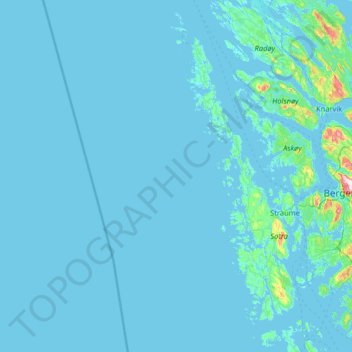
Name: Øygarden topographic map, elevation, terrain.
Location: Øygarden, Vestland, Noruega (60.10405 4.26614 60.74090 5.23802)
Average elevation: 14 m
Minimum elevation: -3 m
Maximum elevation: 551 m
Other topographic maps
Click on a map to view its topography, its elevation and its terrain.