
Lake Ohinewai topographic map
Interactive map
Click on the map to display elevation.
About this map
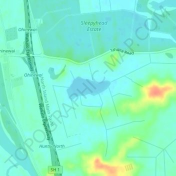
Name: Lake Ohinewai topographic map, elevation, terrain.
Average elevation: 15 m
Minimum elevation: 5 m
Maximum elevation: 47 m
Other topographic maps
Click on a map to view its topography, its elevation and its terrain.
Te Hoe
New Zealand > Waikato > Te Hoe
Te Hoe, Waikato District, Waikato, 3792, New Zealand
Average elevation: 41 m