
Evans Bay topographic map
Interactive map
Click on the map to display elevation.
Evans Bay topographic map, elevation, terrain
About this map
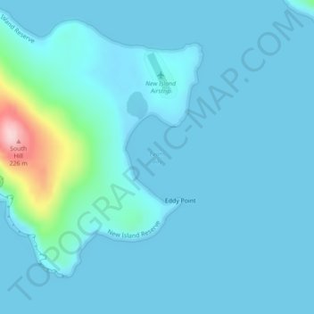
Name: Evans Bay topographic map, elevation, terrain.
Location: Evans Bay, Falkland Islands (-51.75380 -61.28193 -51.75370 -61.28183)
Average elevation: 20 m
Minimum elevation: -1 m
Maximum elevation: 222 m
Other topographic maps
Click on a map to view its topography, its elevation and its terrain.