
Thank you for supporting this site ❤️
Make a donation
Make a donation
Indon Ka Bas topographic map
Click on the map to display elevation.
Thank you for supporting this site ❤️
Make a donation
Make a donation
About this map
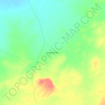
Name: Indon Ka Bas topographic map, elevation, terrain.
Location: Indon Ka Bas, Bapini Tehsil, Phalodi, Rajasthan, India (27.06030 72.70932 27.10030 72.74932)
Average elevation: 294 m
Minimum elevation: 268 m
Maximum elevation: 329 m
Thank you for supporting this site ❤️
Make a donation
Make a donation