
Lamb Island topographic map
Interactive map
Click on the map to display elevation.
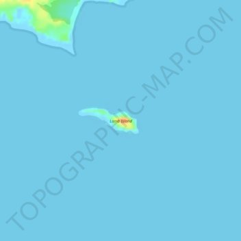
Lamb Island topographic map, elevation, terrain
About this map
Name: Lamb Island topographic map, elevation, terrain.
Location: Lamb Island, Kodiak Island, Alaska, United States (58.04092 -152.70445 58.04383 -152.69166)
Average elevation: 1 m
Minimum elevation: -4 m
Maximum elevation: 35 m
Other topographic maps
Click on a map to view its topography, its elevation and its terrain.