
Bhatti topographic map
Interactive map
Click on the map to display elevation.
About this map
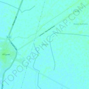
Name: Bhatti topographic map, elevation, terrain.
Location: Bhatti, Sindh, Pakistan (27.36612 67.91614 27.40612 67.95614)
Average elevation: 46 m
Minimum elevation: 44 m
Maximum elevation: 49 m
Other topographic maps
Click on a map to view its topography, its elevation and its terrain.
Karachi Division
Within the city of Karachi are two small ranges: the Khasa Hills and Mulri Hills, which lie in the northwest and act as a barrier between North Nazimabad and Orangi. Karachi's hills are barren and are part of the larger Kirthar Range, and have a maximum elevation of 528 metres (1,732 feet).
Average elevation: 89 m