
Narayangaon topographic map
Interactive map
Click on the map to display elevation.
About this map
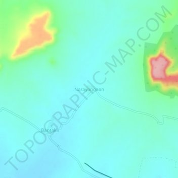
Name: Narayangaon topographic map, elevation, terrain.
Location: Narayangaon, Ambad, Jalna, Maharashtra, India (19.56478 75.73539 19.60478 75.77539)
Average elevation: 501 m
Minimum elevation: 474 m
Maximum elevation: 609 m
Other topographic maps
Click on a map to view its topography, its elevation and its terrain.
Lalwadi
India > Maharashtra > Ambad
Lalwadi, Ambad, Jalna, Maharashtra, 431204, India
Average elevation: 500 m
Rohilagad
India > Maharashtra > Ambad
Rohilagad, Ambad, Jalna, Maharashtra, India
Average elevation: 541 m